
Studio 06
Orbit to Earth
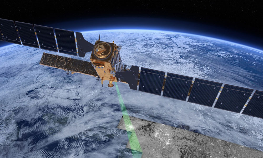
Space data processing and applications
From satellites in orbit to maps on the ground — acquire, process, and analyse real Earth observation data.

When
20–25 July 2026
Six full days · 10am–5pm

Where
Chanakya university Global Campus
Devanahalli, Bengaluru

You earn
2 Credits
Certificate of Completion

Open to
All Students
UG, PG, PhD across schools + external participants
What you’ll do
Hundreds of Earth observation satellites circle the planet, generating data that is used to plan, develop, and monitor our world. This studio takes you on a journey from orbit down to Earth. You’ll start from the fundamentals of how satellite data is acquired, the basics of electromagnetic radiation, and types of imaging. Then you’ll move into image processing using open source platforms, working with real datasets from sources like Bhoonidhi, USGS, and Copernicus. Through hands-on exercises, you’ll learn to produce results that matter — mapping urbanisation, classifying crops and forests, analysing water bodies, and detecting change over time.
What you’ll make
Digital space data maps and processing workflows utilizing real Earth observation satellite imagery to plan, develop, and monitor terrain variations.
Your six days
| Mon | Imaging from orbit. Resolutions (spatial, spectral, temporal, radiometric). GIS fundamentals and an introduction to Quantum GIS. Hands-on session. |
| Tue | Digital displays and visualisation. The Electromagnetic Spectrum and colour fundamentals. Multispectral imaging and nature’s response to EMS. Hands-on with multispectral images. |
| Wed | Earth Observation satellites and open-source data sources (Bhoonidhi, USGS, Copernicus). Basic data processing concepts — NDVI, NDWI, etc. Hands-on with diverse satellites. |
| Thu | Image classification — crop maps, forest maps, urban sprawl. Mapping accuracy. Special exercise on land use / land cover classification of Devanahalli Taluk. |
| Fri | Change detection and multi-temporal satellite analysis. Time-series analysis and computation of dynamic feature changes. |
| Sat | Quiz on the week’s topics. Group presentations on “Orbit to Earth.” Disaster management case studies. Interactive session on Bhuvan Geoportal (ISRO’s National GIS). Feedback and conclusion. |
Sessions run full-day (approx. 10am–5pm). Heavily hands-on; theory capped at 1–2 hours per day.
How you’ll be assessed
On the objectives you define for your project, the methods you adopt, your intermediate results, the processing steps you document, your actual results, and how well those results align with your stated objectives.
Your instructor
Dr. P G Diwakar
Director, Centre for Sustainability, Chanakya University · ISRO Chair Professor, NIAS
Dr. P G Diwakar retired as Distinguished Scientist from ISRO and is currently the ISRO Chair Professor at the National Institute of Advanced Studies (NIAS), IISc Campus, Bengaluru. He also serves as Director of the Centre for Sustainability at Chanakya University. He holds a PhD in Participatory Geomatics from NITK Surathkal.
At ISRO he held senior positions including Programme Director of the Earth Observation System and Disaster Management Support Programme; Deputy Director of the National Remote Sensing Centre, Hyderabad; and Scientific Secretary at ISRO Headquarters. He led the design, development, and deployment of the Bhuvan Geoportal — India’s national geospatial platform. His specialisations include space technology and applications, digital image processing, and geospatial solutions. He has more than 100 publications and has received multiple ISRO Team Excellence Awards, the Astronautical Society of India Award, and the Globe Sustainability Research Award (Stockholm, 2010).

Registration open

Questions about a Studio?
Reach out to the Studios Coordinator. Happy to talk through any of the courses, what to expect day-to-day, or whether a particular Studio fits where you are in your learning right now.
Studios Coordinator
Anand K Sharma
cu.studios@chanakyauniversity.edu.in
+91 88930 33233
Campus
Chanakya University Global Campus
NH-648, Haraluru–Polanahalli
Near Kempegowda Intl. Airport
Devanahalli, Bengaluru — 562165